To the untrained eye, a plat map is a confusing web of lines and numbers. To a land surveyor, it’s the definitive blueprint of a property.
For any property owner or prospective buyer, this document is an essential guide to your land.
Understanding this map is a crucial skill for verifying boundaries, avoiding potential disputes with neighbors, and making informed decisions about your investment.
If you’ve ever asked, what is a plat map, you’re in the right place. This guide will break down everything you need to know in simple, easy-to-understand steps, transforming that confusing document into a clear and valuable tool.
Table of Contents
What is a Plat Map and Why is it Important?
Before learning to decipher the lines and symbols, it’s essential to understand the document’s fundamental definition, its legal standing, and its primary purpose in the world of real estate. This foundational knowledge makes the practical steps of reading a map far more intuitive and meaningful.
Defining the Plat Map
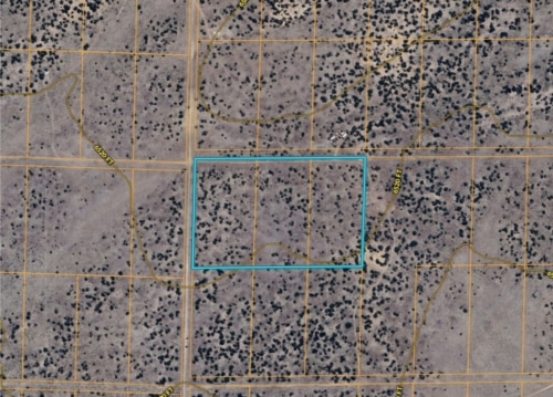
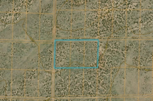
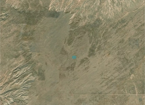
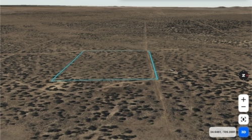
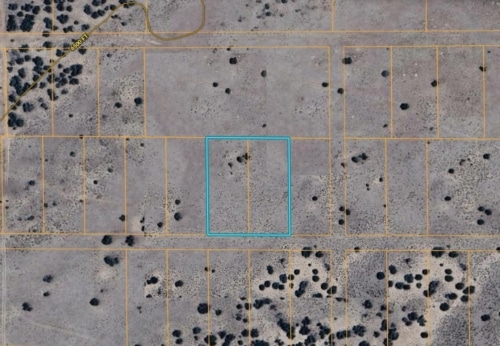
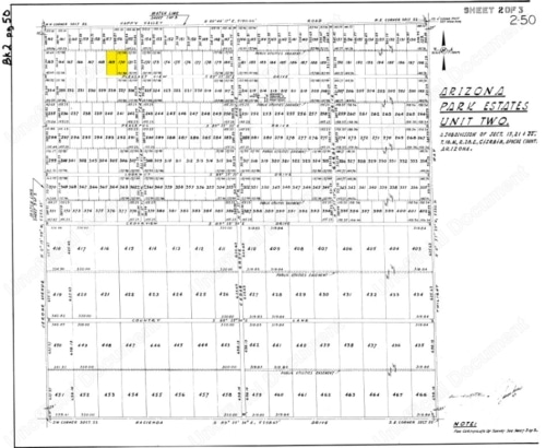
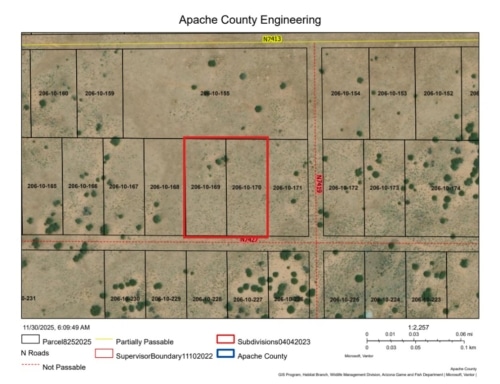
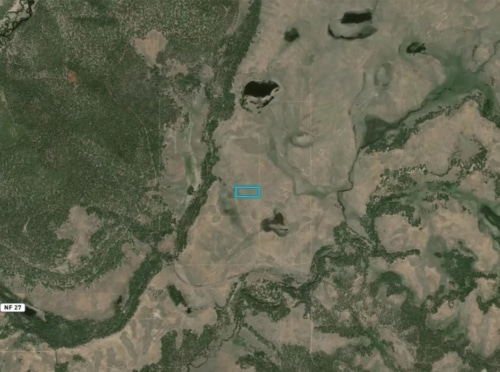
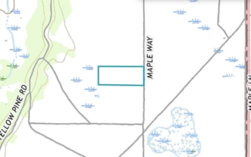
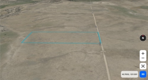
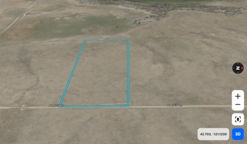
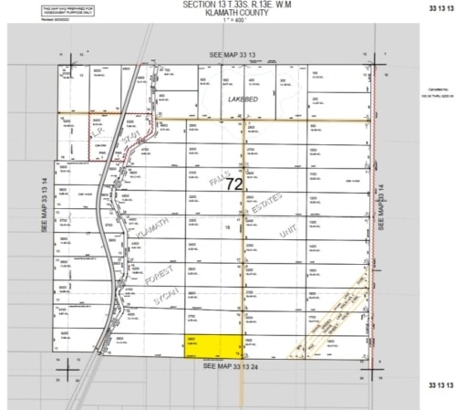
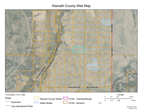
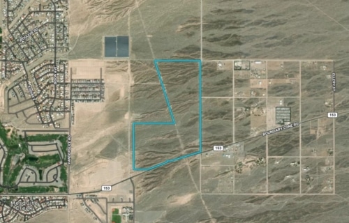
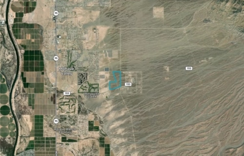
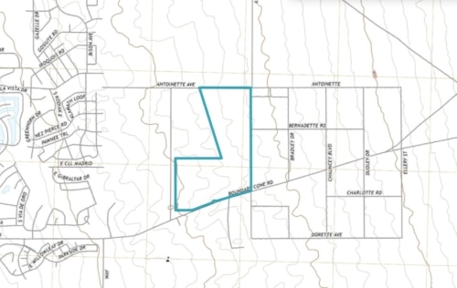
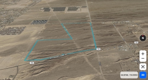
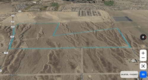
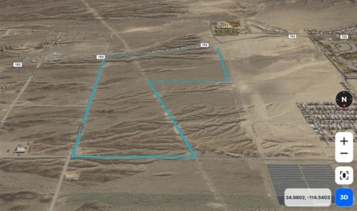
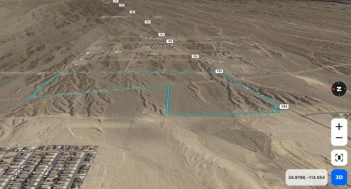
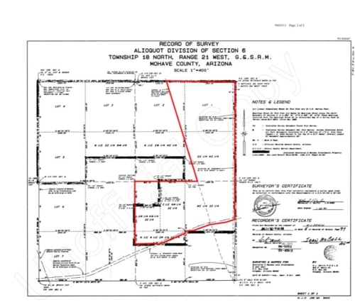
A plat map is a detailed, scaled diagram created by a licensed surveyor. It provides an overhead view illustrating how a larger tract of land has been divided into smaller lots or parcels. The map meticulously outlines property boundaries, dimensions, nearby streets, and other critical features.
Properties that are shown on such a map are often referred to as “platted.” The legal description for these properties typically uses a “lot and block” system, which refers directly to the unique identifiers shown on the plat map filed with the local county government.
Key Uses and Applications
Plat maps are far more than just drawings; they are legal documents with several critical applications. Knowing what a plat map is used for reveals its importance in the property lifecycle.

Property Transactions: During the buying and selling of land, the plat map provides a clear, official legal description of the property’s boundaries and size, ensuring all parties have a mutual understanding of what is being transferred. It ensures the legal description on the deed matches the physical reality depicted on the map, preventing future disputes over what was actually transferred.
Development and Planning: Developers use plat maps to design subdivisions and secure building permits. Local governments rely on them for zoning, planning infrastructure like roads and utilities, and ensuring that development complies with local land-use policies.
Resolving Disputes: When disagreements arise over property lines, easements, or encroachments, the plat map serves as an official, recorded piece of evidence that can help clarify ownership boundaries and resolve conflicts.
Property Taxation: County assessors use plat maps to identify and value property. Each lot is assigned a unique parcel number on the map, which links the physical land to the official property tax records. Assessors use the map’s unique parcel numbers to link the physical land to tax records, ensuring a uniform and equitable basis for property valuation across the jurisdiction.
1.3. Plat Map vs. Survey: Clarifying the Difference
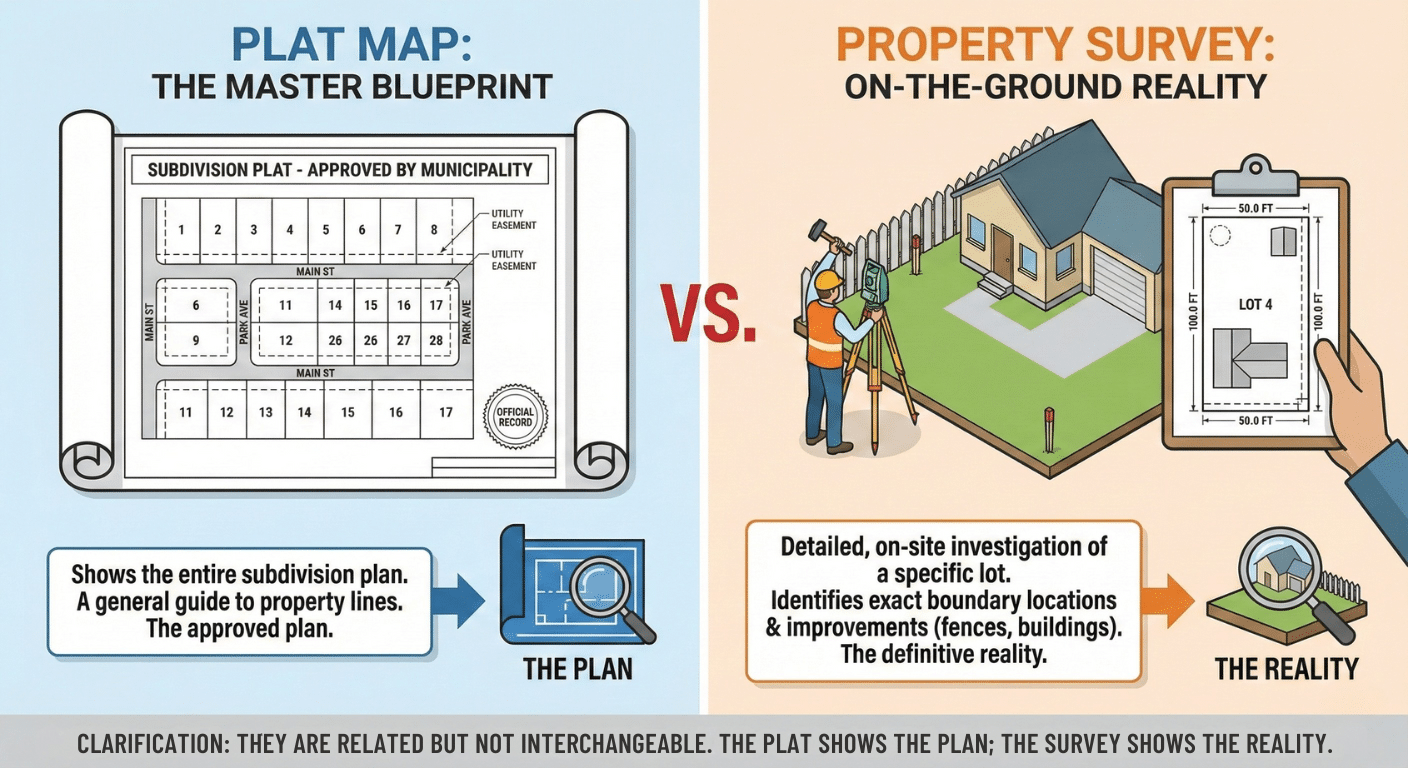
A common point of confusion is the distinction between a plat map and a property survey, so let’s clarify: is plat map the same as survey? While related, they are not interchangeable. Think of it this way: the plat map is the master blueprint for the entire subdivision, approved by the municipality. A property survey is a detailed, on-the-ground investigation of your specific lot, identifying the exact location of boundaries and any improvements like fences or buildings.
While a plat map offers an excellent guide to property lines, a survey is the only definitive way to know the precise locations of boundaries and structures on your specific lot. The plat shows the plan; the survey shows the reality. Knowing this distinction makes it easier to understand the information each document provides.
2. How to Read a Plat Map: A Step-by-Step Guide
Reading a plat map is like learning the language of a property. It may seem technical, but by understanding a few key elements, anyone can decipher this valuable document. This section will break down the essential components to look for, providing a clear path to confidently interpreting your property’s blueprint. With this knowledge, you will be able to read a plat map like a professional.
2.1. Key Elements of a Plat Map
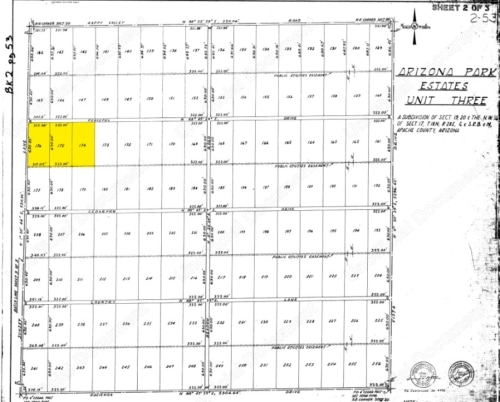
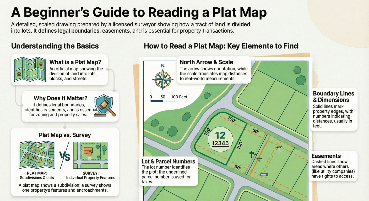
Every plat map contains standard components that provide critical information. The following table identifies these elements and explains what they mean.
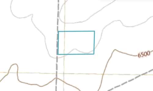
North Arrow:
An arrow, typically in a corner, shows the geographic orientation of the property (which way is North).
![]()
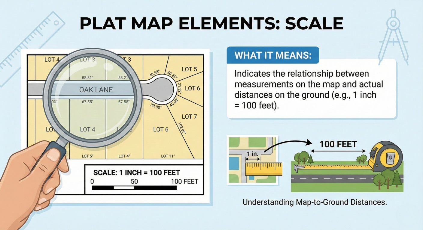
Scale:
Indicates the relationship between measurements on the map and actual distances on the ground (e.g., 1 inch = 100 feet).
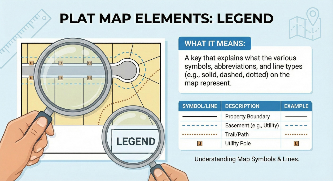
Legend:
A key that explains what the various symbols, abbreviations, and line types (e.g., solid, dashed, dotted) on the map represent.
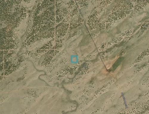
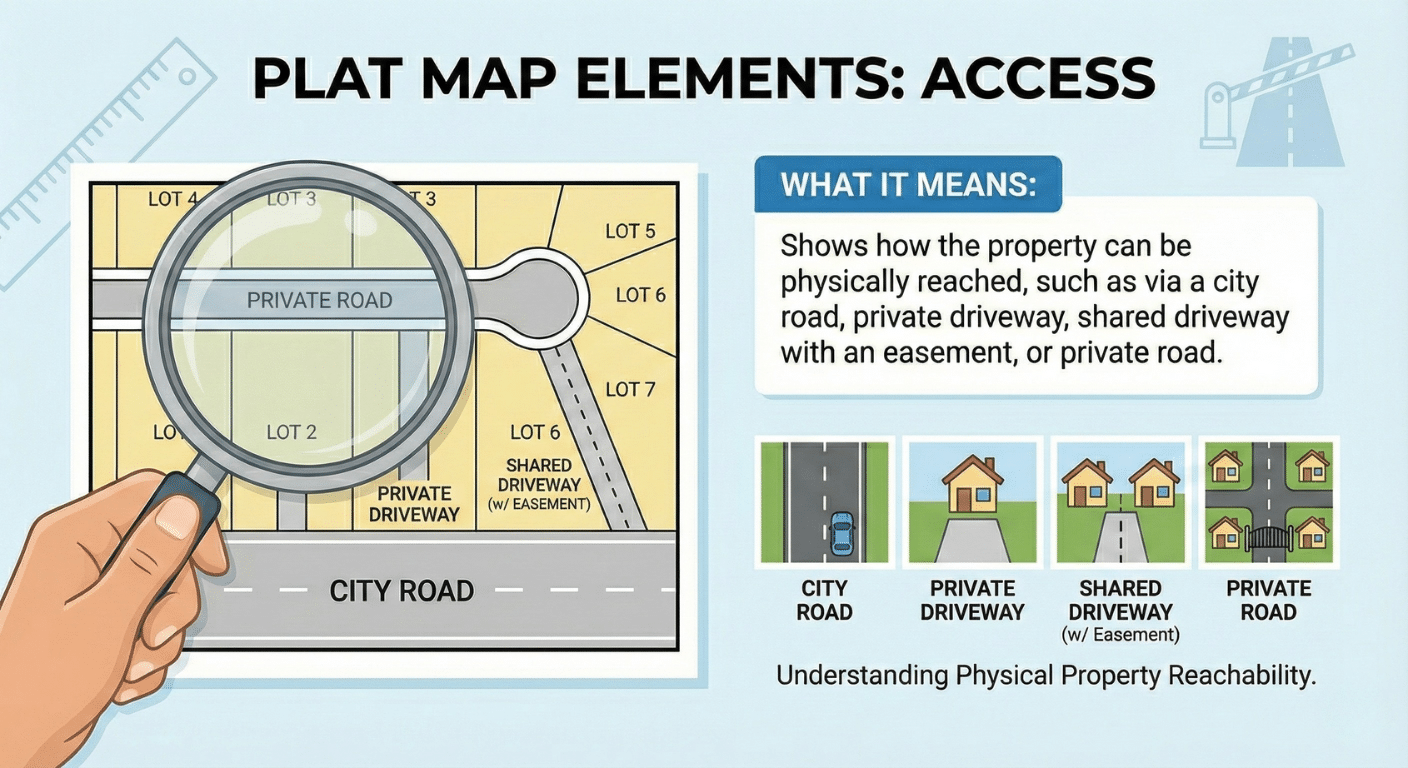
Access:
Shows how the property can be physically reached, such as via a city road, private driveway, shared driveway with an easement, or private road.
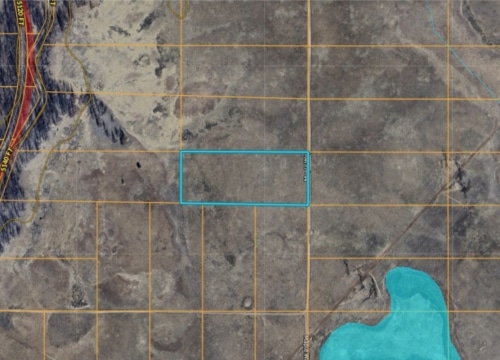
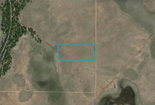
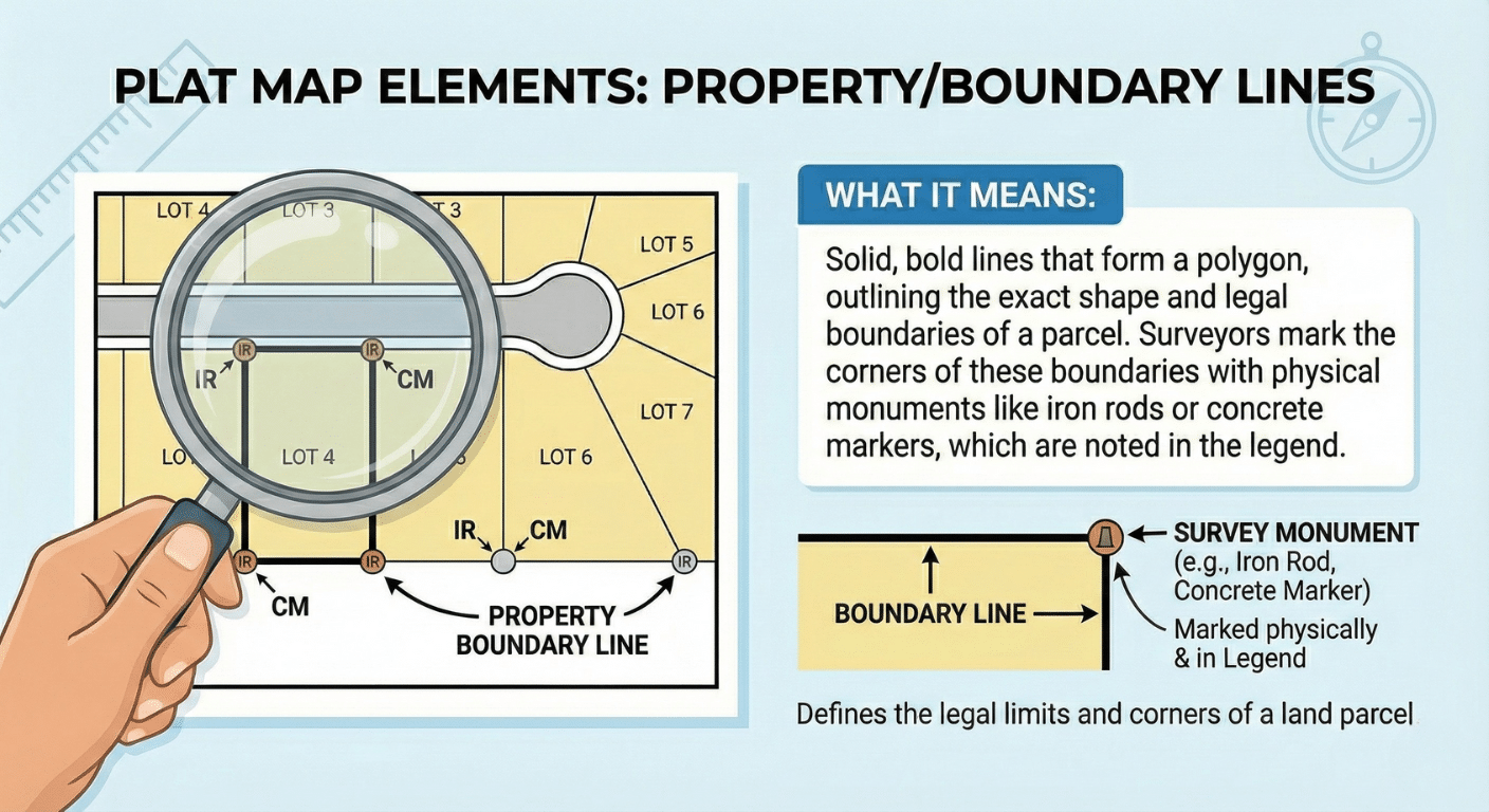
Property/Boundary Lines:
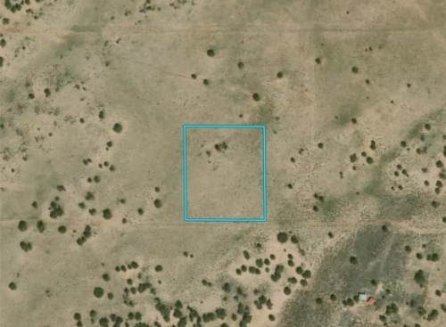
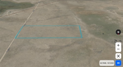
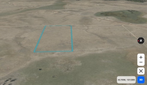
Solid, bold lines that form a polygon, outlining the exact shape and legal boundaries of a parcel. Surveyors mark the corners of these boundaries with physical monuments like iron rods or concrete markers, which are noted in the legend.
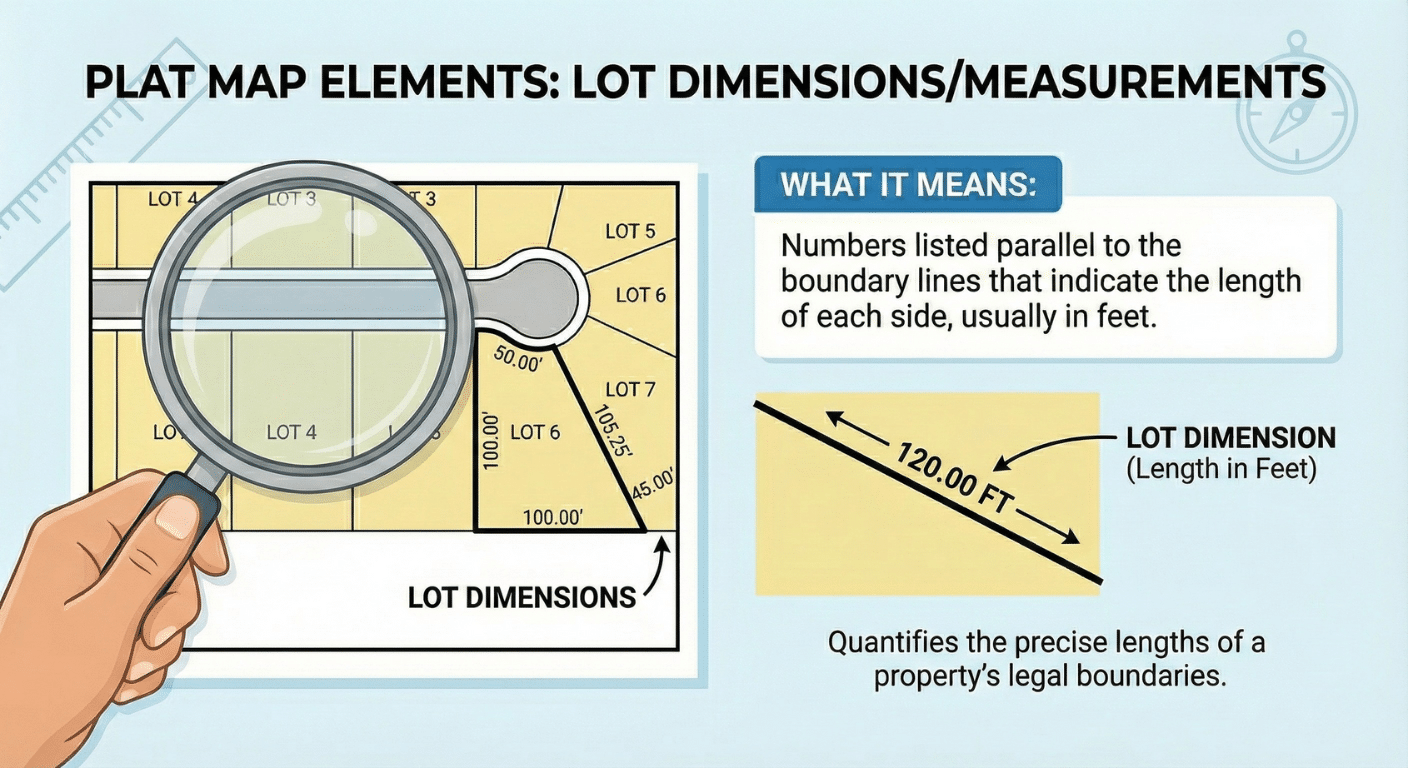
Lot Dimensions/Measurements:
Numbers listed parallel to the boundary lines that indicate the length of each side, usually in feet.
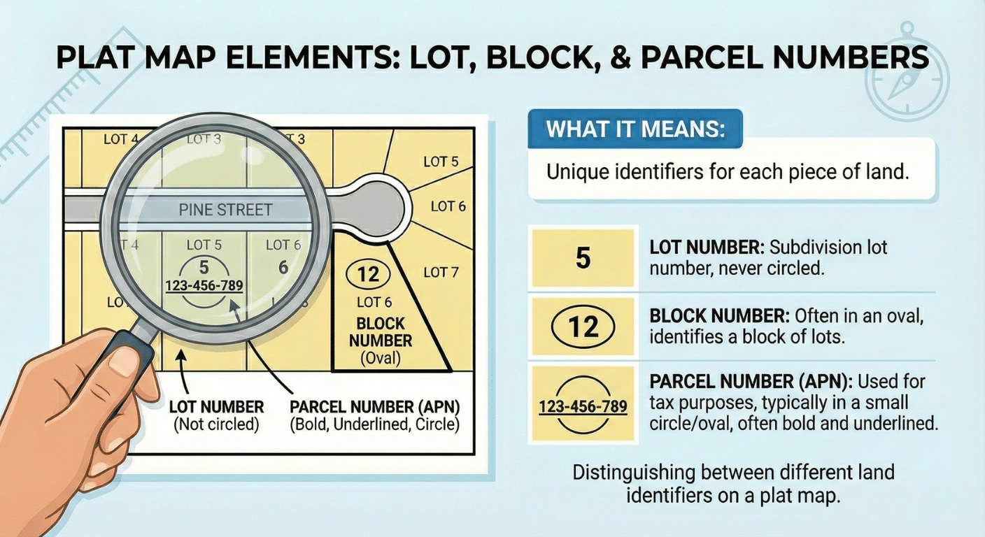
Lot, Block, and Parcel Numbers:
Unique identifiers for each piece of land. The Lot Number is the subdivision lot number and is never circled. The Block Number is often in an oval. The Parcel Number (APN), used for tax purposes, is typically in a small circle or occasionally an oval, and is often bold and underlined.
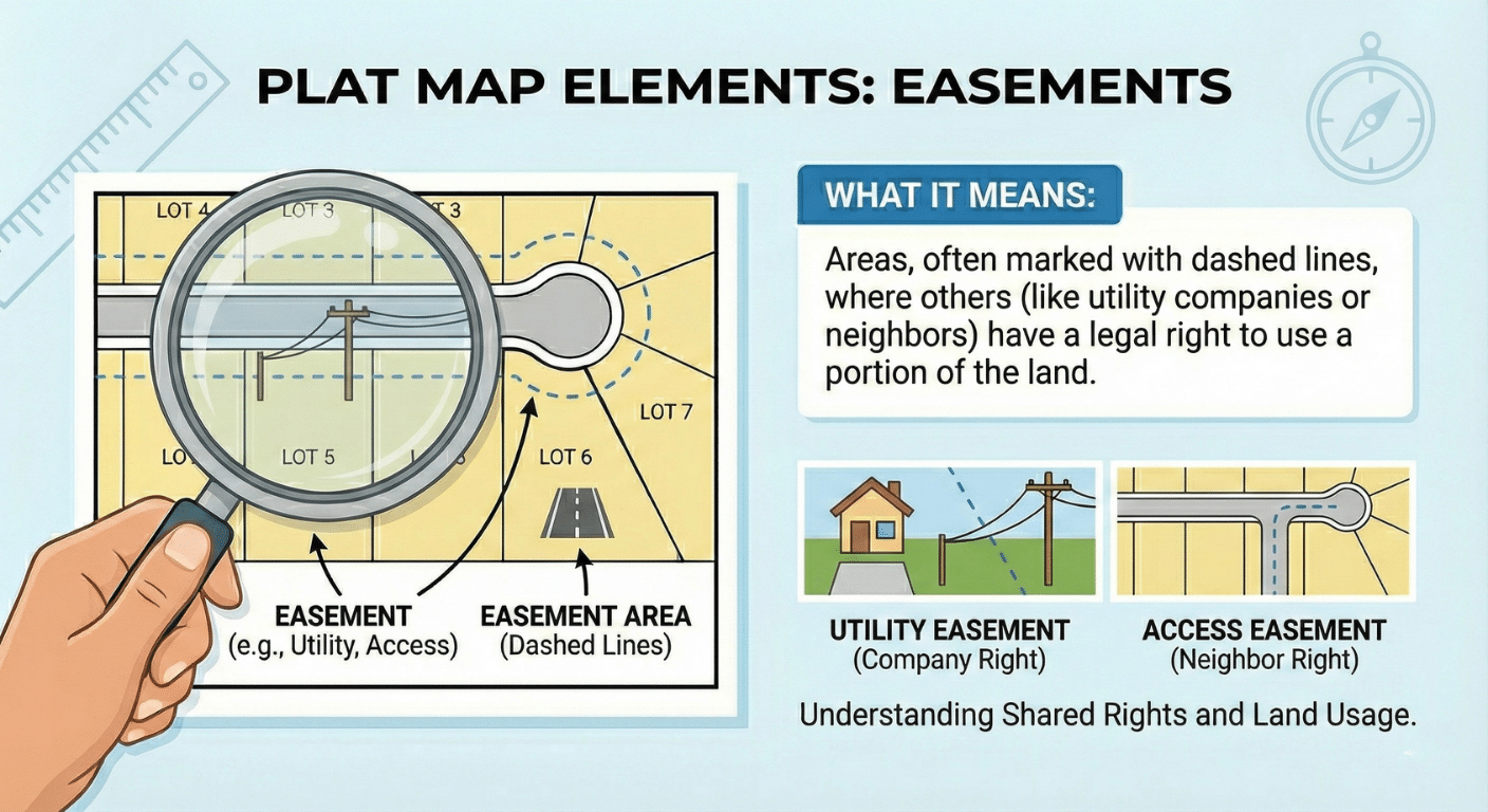
Easements:
Areas, often marked with dashed lines, where others (like utility companies or neighbors) have a legal right to use a portion of the land.
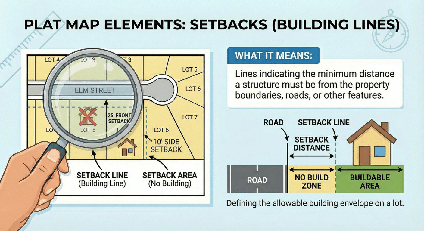
Setbacks (Building Lines):
Lines indicating the minimum distance a structure must be from the property boundaries, roads, or other features.
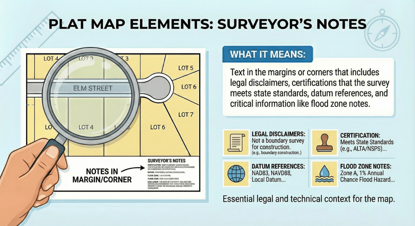
Surveyor’s Notes:
Text in the margins or corners that includes legal disclaimers, certifications that the survey meets state standards, datum references, and critical information like flood zone notes.
A Practical Checklist for Reading Your Map
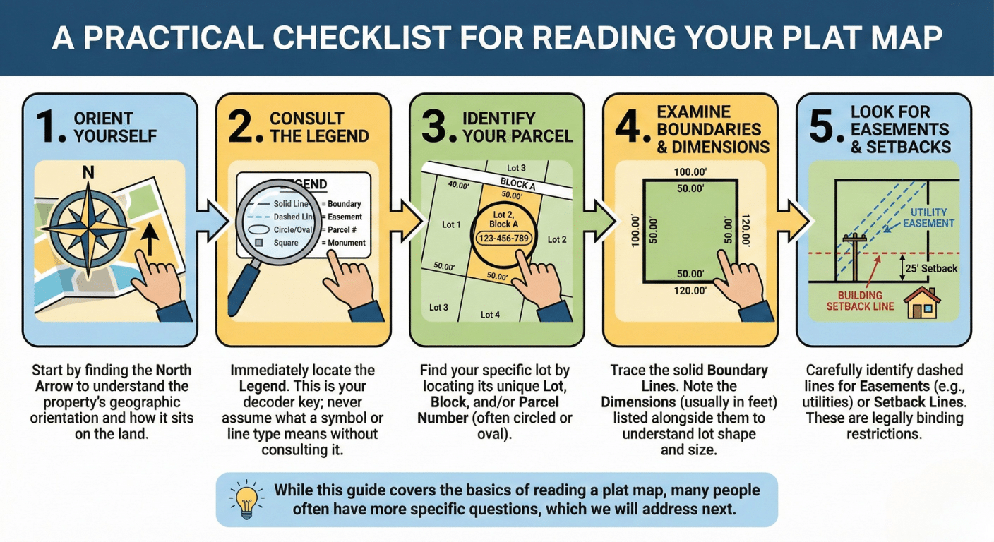
When you first look at a plat map, it can feel overwhelming. Follow this simple, step-by-step process to navigate the document with ease.
- Orient Yourself: Start by finding the North Arrow to understand the property’s geographic orientation and how it sits on the land.
- Consult the Legend: Immediately locate the Legend. This is your decoder key; never assume what a symbol or line type means without consulting the legend first.
- Identify Your Parcel: Find your specific lot by locating its unique Lot, Block, and/or Parcel Number. The parcel number is often highlighted in a circle or oval.
- Examine the Boundaries and Dimensions: Trace the solid Boundary Lines of your property. Note the Dimensions (usually in feet) listed alongside them to understand the shape and size of your lot.
- Look for Easements and Setbacks: Carefully identify any dashed lines or notations that indicate Easements (e.g., for utilities) or Setback Lines. These are legally binding restrictions. An undiscovered easement for a future sewer line could derail your plans for a backyard pool.
While this guide covers the basics of reading a plat map, many people often have more specific questions, which we will address next.
Frequently Asked Questions (FAQ) About Plat Maps
This section answers some of the most common questions people have about plat maps, providing quick and clear information to round out your understanding.
Are plat maps accurate?
In the surveying profession, we treat plat maps as an indispensable guide, but not as gospel. While they are official documents created by licensed surveyors, the only way to establish a legally defensible boundary for construction, like a fence, is with a recent, formal property survey of your specific parcel. Older plat maps may contain discrepancies, and errors can sometimes occur. Therefore, for decisions requiring high precision, a new survey is always recommended.
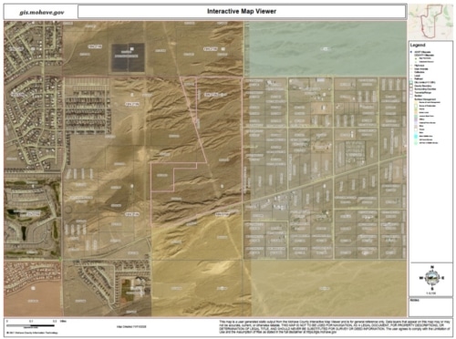
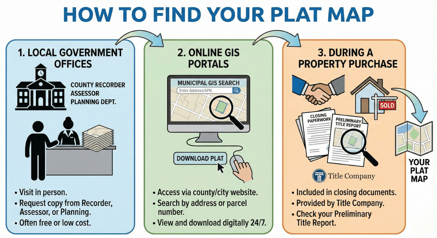
How do I find my plat map?
There are several common ways to obtain a copy of your property’s plat map.
Local Government Offices: You can typically find plat maps at the county recorder, assessor, or planning department office where the property is located.
Online Portals: Many municipalities and counties offer public access to maps through online GIS (Geographic Information Systems) portals, allowing you to search for and view your plat map digitally.
During a Property Purchase: Plat maps are standard documents included in the closing paperwork or the preliminary title report provided by the title company when you buy a property.
Are plat maps public record?
Yes. Once a plat map is prepared and approved, it is filed with a government agency like the county recorder’s office. At that point, it becomes a legal document and is considered part of the public record, making it accessible to anyone who wishes to view it.
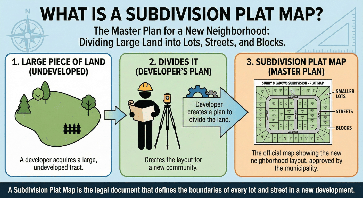
What is a subdivision plat map?
A subdivision plat map is the most common type of plat map a homeowner will encounter. This is the specific map created when a developer takes a large piece of land and divides it into the smaller lots, streets, and blocks that form a new neighborhood or subdivision. It serves as the master plan for the entire development.
Conclusion: Empowered by Knowledge
A plat map is more than just a technical drawing; it is a valuable tool that provides a wealth of information about your property. It defines your boundaries, details your rights, and highlights potential restrictions. By learning to read this document, you can better protect your investment, plan for future improvements, and avoid potential conflicts. This knowledge empowers you to be a more confident and informed property owner.